Maps Widget (EWO)
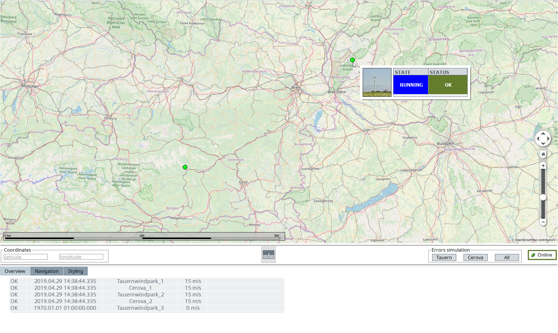
The Maps Widget provides the possibility to open and display maps within your project. The Widget is based on the Marble component which is part of the KDE project. The Widget allows you to:
- use and display various types of maps based on the map theme that is used by your project like OpenStreetMap, WebMapServices or Google Maps.
- display custom objects from WinCC OA directly onto the map, e.g. to represent your plant and give additional information like alerts, etc.
- ESRI files cannot be displayed within the Maps Widget.
Marble Version
WinCC OA uses the Marble Project Version v19.04.0. The license agreement can be found here.
Requirements
Following requirements must be met for using the Maps Widget:
- For using the Maps Widget a valid "gis" license is required.
Note:
If the Maps Widget icon is not displayed in your GEDI, you must remove the file
PVSS00ui.ini in your users folder. Under Windows, the file is located
under <User>/AppData/Roaming/ETM/. For Linux, the .ini file is located under
<home>/.config/ETM/
Demonstration Panel
A demonstration panel that provides an overview over the available functionality can be found within the example panels of the installation (/panels/example/maps/).