GIS Viewer EWO
WinCC OA GIS Viewer provides the cartographic representation of objects in WinCC OA. This new feature provides numerous advantages, particularly in geographical distributed systems, like in Water, Traffic, Oil & Gas or Energy.
Functions:
-
Displaying maps which are available in the ESRI shape file format.
-
Displaying WinCC OA objects (symbols, texts, color changes and/or process values) in different map layers.
-
Definition of any number of layers.
-
Automatic zoom to pending warnings or alarms.
-
Manual zoom (+, - and zoom of an area).
-
Easy navigation to plant panels and to the alarm / event screen
Individual geographic areas can be precisely monitored through automatic or manual zoom right down to the device level. Should system components be in warning or alarm status this is signified by colors, forms, symbols, or characters on the respective map, allowing fast and precise navigation to the interruption. The WinCC OA solution gain more informative value through combination of cartographic information with actual status signals of the plant. A much more efficient project design is also achieved through dynamic map material rather than static map frames.
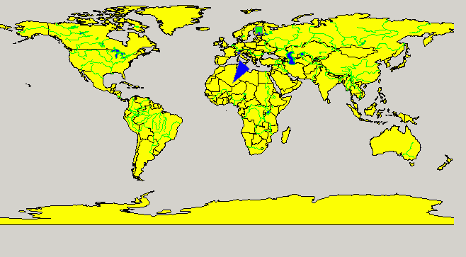
The WinCC OA GIS Viewer EWO allows displaying and managing ESRI shapes files. You can display maps and add shapes to your maps.
The viewer was tailor-made to fit in with WinCC OA. Therefore, the GIS viewer provides various functions like:
-
Loading WinCC OA colorDB files. Therefore, the viewer understands WinCC OA colors including blinking colors,
-
A shape layer can be tied to WinCC OA _SumAlertPanel data point. Therefore, a shape will blink in case of an alarm of this data point,
-
The viewer understands the function dpQueryConnectSingle() and can perform a dpQueryconnect query and feed the results directly into the viewer.
The WinCC OA GIS Viewer does not come with any maps. ETM does not provide, or can not assist you, in getting ESRI shapes files. You may find free maps on the Internet or may have to purchase a map containing the appropriate information.
Maps can be obtained from many different vendors (e.g.: ESRI - Environmental Systems Research Institute).
See chapter Introduction to GIS_Viewer for useful examples of the GIS Viewer and a list of available functions.